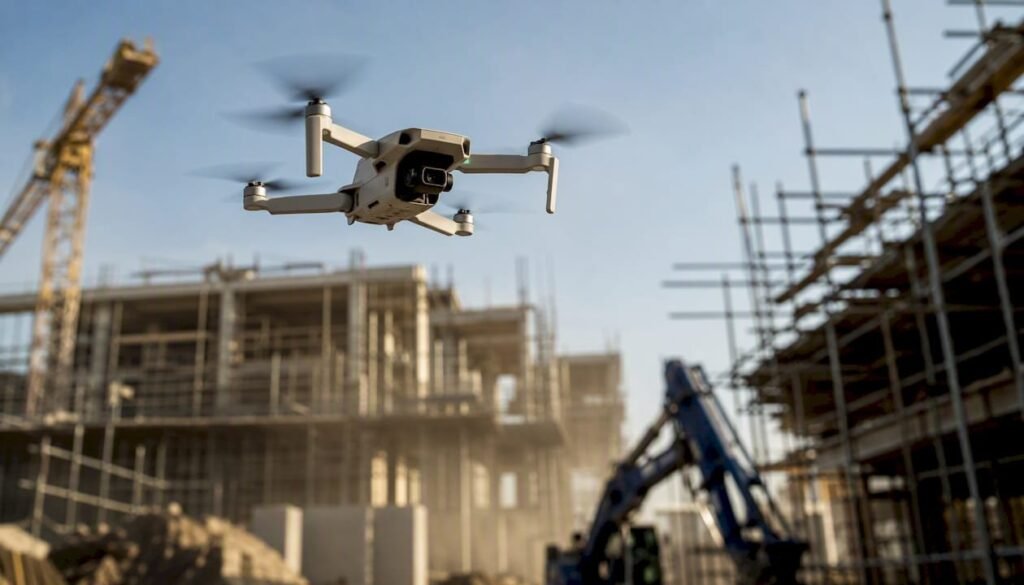
Construction-site drones enable metric surveys with 1–3 cm tolerances using GCPs, high-level inspections without exposing operators to fall hazards, progress monitoring and perimeter surveillance. To operate legally in Italy, you need: operation classification under the EU UAS Regulation (open, specific or certified category), any ENAC authorisation required for specific operations, an operational plan with risk assessment, a remote pilot with certified competencies, and privacy management for recorded workers.
Expected results from a well-structured drone programme:
- Topographic survey: georeferenced orthophotos with a GSD resolution of 2–5 cm/pixel and coordinates within 1–3 cm tolerance thanks to GCPs and RTK.
- Progress monitoring: comparison of the surveyed point cloud with the BIM model to identify construction deviations in weeks, not months.
- High-level inspections: roofs, façades, scaffolding and tall structures inspected without temporary platforms.
- Thermography: identification of heat loss, moisture and system defects before walls are closed.
- Surveillance: active deterrence against theft and vandalism, with integration into alarm systems.
Key data: integrating drones with surveillance systems enabled an Italian high-speed rail project between Brescia and Verona to reduce response times by up to 80% compared with traditional methods.
Key points
Construction-site drones generate real value only when acquired data is integrated into the BIM workflow and progress monitoring through a structured process, verified tolerances and clearly defined operational roles.
| Point | Details |
|---|---|
| Accuracy with GCP/RTK | Coordinate tolerances of 1–3 cm can be achieved with correctly positioned GCPs and a dedicated post-processing workflow. |
| ENAC/EU UAS regulations | Most surveys fall within the open category; BVLOS operations and complex overflights require ENAC authorisation and SORA assessment. |
| BIM integration | Comparing the point cloud with the BIM model is the most useful deliverable for identifying construction deviations early. |
| Operational safety | Drones eliminate hazardous high-level access and, when integrated with PSIM systems, reduce response times by up to 80% in the event of an alarm. |
| Edil-up for progress monitoring | Importing orthophotos and drone reports into Edil-up and linking them to progress milestones centralises monitoring and reduces data-transfer errors between teams. |
Edil’s perspective on adopting construction-site drones
The discussion about drones in construction almost always focuses on technology: which drone, which sensor, which software. That is the wrong place to start.
The real obstacle to adoption is not technical. It is organisational. A site that captures orthophotos every week but has no process for comparing them with the BIM, sharing them with the site supervisor and linking them to progress milestones is spending money to accumulate files on a hard drive. Unused data is worthless.
The practical recommendation is this: before buying any hardware, define the data flow. Who receives the deliverables? In what format? How often? Who is responsible for comparing them with the design model? Only after answering these questions does it make sense to choose the sensor.
The other point that is systematically underestimated is training. Having a certified pilot is not enough: someone must know how to read a point cloud, verify a survey’s RMSE and understand when data is good enough to support a construction decision. This competence is built over time; it cannot be bought with the drone.
Starting with a pilot project on a medium-sized site, with measurable objectives (target tolerance, survey frequency and expected deliverables), is the most effective way to understand what works in your organisation before scaling up.
Edil-up for integrating drone data into construction-site management software
Those who have already started, or are considering, using drones on construction sites often face the same problem: the data exists, but remains isolated in local folders or tools separate from the project’s operational workflow.

Edil-up is the platform that connects drone deliverables to progress monitoring and construction-site document management. Importing a georeferenced orthophoto or survey report, linking it to a progress phase and sharing it with the team in a few clicks is exactly the kind of operation Edil-up manages centrally. No more scattered files and no more outdated versions circulating among collaborators.
For site managers who want to move from data collection to operational use, the starting point is understanding how integrated progress monitoring can become part of the daily workflow. For those considering a broader digital strategy, the guide to digitalising the construction sector shows how drones fit into a more structured transformation plan.
Contents
- What are the main uses of construction-site drones and their practical benefits?
- Italian regulations and permits: what does a site manager need to know?
- How do you choose the right drone, sensors and acquisition method?
- From survey to BIM: how to turn drone data into usable deliverables
- How do you integrate flights into the site safety plan?
- What certifications and training are needed to operate drones?
- Real-world cases in Italy: what results have been achieved?
- How do you use drone deliverables in Edil-up to monitor the site?
- Sources
What are the main uses of construction-site drones and their practical benefits?
Topographic surveying is the most widespread application and the one with the most immediate return. A drone equipped with a high-resolution camera and RTK module can cover in a few hours areas that would require days of traditional surveying with a total station. The output—a dense point cloud or georeferenced orthophoto—enters the BIM workflow directly, without manual re-entry.
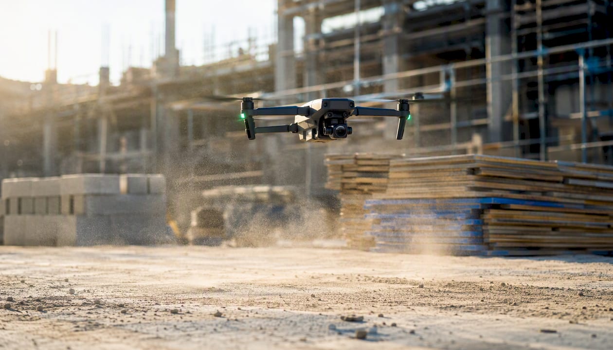
Drone-based progress monitoring works as follows: the site’s point cloud is captured at regular intervals, overlaid on the design BIM model, and deviations are identified. This approach, documented in AEC workflows, facilitates the early detection of construction errors before they become costly to correct. An activity that once required manual inspections with a distance meter becomes an automated comparison between model and reality.
High-level inspections are the second major adoption driver for safety reasons. Roofs, glazed façades, trusses and tall scaffolding can be inspected with high-resolution cameras or thermal cameras without anyone climbing up. The reduction in exposure to fall hazards is concrete and measurable by the number of high-level accesses eliminated.
Aerial thermography identifies heat loss, water infiltration and system defects before structures are closed. A thermal map captured before screed installation can reveal thermal bridges that would cost thousands of euros to correct after the work is complete.
Monitoring construction-site stocks and assets, often overlooked, is another practical application: a periodic flight over the storage area produces an up-to-date visual inventory of materials, vehicles and equipment. Finally, perimeter surveillance acts as an active deterrent against nighttime theft, with the possibility of integration into PSIM systems and operations centres. Industry interest in these applications is growing steadily, as shown by specialised Italian events dedicated to drones and site security.
Italian regulations and permits: what does a site manager need to know?
The regulatory framework has two levels: the European Union UAS Regulation, implemented in Italy by ENAC, and national operating procedures. The three operating categories define what can be done and which obligations apply:
- Open category: low-risk operations, VLOS (visual line of sight), drones under 25 kg and a maximum altitude of 120 m. ENAC authorisation is not required, but the pilot must have certified competence (A1/A2/A3 according to the subcategory) and the drone must be registered. Most standard construction-site surveys fall into this category.
- Specific category: higher-risk operations, including BVLOS (Beyond Visual Line of Sight) operations, flights over gatherings of people or in confined spaces. It requires a risk assessment (SORA) and, in most cases, ENAC authorisation. Continuous surveillance of large infrastructure sites and night flights fall into this category.
- Certified category: high-risk operations comparable to traditional civil aviation. Rarely applicable to standard construction sites.
For a typical site, the practical administrative steps are:
- Classify the operation and check whether it falls into the open or specific category.
- Register the drone and pilot on the D-Flight portal (the airspace manager in Italy).
- Issue a NOTAM or AIP communication if the operation takes place in controlled airspace or near airports.
- Prepare a written risk assessment with mitigation measures.
- Manage privacy: inform workers about aerial recording and adopt measures to limit the collection of unnecessary personal data, in compliance with the GDPR.
Advice: for sites involving recurring or complex operations (BVLOS, flights over populated areas), it is advisable to use a certified UAS operator with experience in the AEC sector. The cost of an external service is often lower than the internal time required to manage authorisations and train staff.
How do you choose the right drone, sensors and acquisition method?
Choosing the sensor is the most important technical decision because it determines data quality and usability within the BIM workflow. There is no single solution: it depends on the survey objective and the tolerances required.
| Technology | Primary use case | Typical tolerance | Main limitation |
|---|---|---|---|
| RGB photogrammetry | Orthophotos, point clouds, 3D models | 1–3 cm with GCP/RTK | Dense vegetation, low light |
| LiDAR | Surveys beneath vegetation, complex structures | Sub-centimetre with GNSS | High payload cost |
| Thermography | Heat loss, moisture, systems | Qualitative (thermal map) | Requires specific weather conditions |
| RTK/PPK | Georeferencing without physical GCPs | 1–3 cm | Requires adequate satellite coverage |
RGB photogrammetry covers most construction-site needs: topographic surveys, progress monitoring and photographic documentation. To achieve coordinate tolerances of 1–3 cm, the optimal combination is a high-resolution camera with an integrated RTK module and ground control points (GCPs). GCPs are points materialised on the ground with known coordinates (surveyed using a GNSS rover), distributed evenly across the survey area. Without GCPs, accuracy can deteriorate significantly even with RTK.
LiDAR comes into play when vegetation covers elements to be surveyed, when sub-centimetre results are needed on complex structures, or when working in variable lighting conditions. Combining airborne LiDAR with ground-based GNSS surveying produces the most accurate results, but at a higher payload and processing cost. For engineering use and BIM-bound outputs, RTK/PPK and dedicated sensors are the recommended choice.
Thermography requires specific conditions: stable outdoor temperature, no direct solar radiation (dawn or dusk), and a calibrated thermal camera. Results are qualitative, not metric, but their diagnostic value is high.
Advice: before each survey, check the target GSD (Ground Sampling Distance), the percentage of lateral and forward image overlap (minimum 70–80%), weather conditions and GCP positions. These four parameters determine data quality more than any other variable.
From survey to BIM: how to turn drone data into usable deliverables
The operational process has defined steps that cannot be compressed. Skipping one means delivering unusable data to the project team.
- Survey planning: define the area, target GSD, flight altitude, GCP positions and number, and an automated flight plan using dedicated software (Pix4D Capture, DJI Pilot 2 or equivalents).
- Flight execution: capture images with adequate overlap, survey GCP coordinates with a GNSS rover and keep a flight log for documentation.
- Photogrammetric or LiDAR processing: process the data using software such as Pix4Dmapper, Agisoft Metashape or RealityCapture to generate a dense point cloud, digital terrain model (DTM) and georeferenced orthophoto.
- Georeferencing and GCP verification: import GCP coordinates into the software, calculate residual errors (RMSE) and verify that tolerances fall within the values acceptable for the project.
- Export to AEC formats: point cloud in LAS/LAZ format for BIM software, orthophoto in GeoTIFF, 3D model in OBJ or FBX, and plans in DWG or DXF. Final drawings are commonly delivered in DWG or DXF for integration into design software.
- Integration into the BIM model: import the point cloud into Autodesk Revit, Navisworks or equivalent software, align it with the design model, and compare deviations visually and quantitatively.
- Accuracy report: a document containing RMSE on GCPs, point-cloud count, effective GSD resolution, acquisition date and conditions.
Comparing the surveyed point cloud with the design BIM model is the most useful deliverable for a site manager: it shows visually and measurably where construction differs from the design. Without a clear BIM integration process, sites risk accumulating large volumes of unused images. The real value lies in acting on data, not collecting it.
Operational note: deliverables are ready for progress comparison when the point cloud is georeferenced with verified RMSE, exported in a format compatible with the team’s BIM software and accompanied by an accuracy report. Without these three elements, the data cannot support construction decisions.
How do you integrate flights into the site safety plan?
A drone flying over an active site is an additional risk if it is not managed. Operational planning must form part of the Safety Operating Plan (POS) and be coordinated with the Safety Coordinator during Execution (CSE).
| Stage | Activity | Responsible person |
|---|---|---|
| Pre-flight | Operator briefing, weather check, drone inspection, LZ demarcation | Remote pilot |
| During flight | Area control, communication with site foreman, visual observation | Observer |
| Post-flight | Flight log, drone inspection, data archiving | Remote pilot |
| Documentation | Updating the RPAS register, incident/anomaly report | Operations manager |
Site-specific risks to assess in the SORA include people on the ground (workers and visitors), moving equipment (cranes and excavators), electromagnetic interference from electrical systems or welding equipment, physical obstacles (scaffolding and tower cranes), and changing weather conditions. Each identified risk requires a documented mitigation measure.
There are three operational roles: the remote pilot (certified under the applicable UAS category), who manages the flight; the visual observer, who maintains visual contact with the drone and communicates with the pilot; and the operations manager, who coordinates with the site, manages documentation and responds to authorities during inspections.
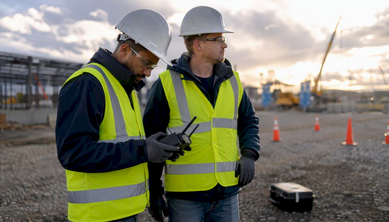
Maintenance in a construction environment deserves specific attention. Dust, vibration and impacts are drones’ enemies. After every flight: clean the sensors with compressed air, visually inspect propellers and motors, check battery condition and update the flight log. LiPo batteries should be stored at a controlled temperature (10–25°C) and not left discharged. A drone that is not maintained on site has a much shorter operational life than expected.
Advice: designating a permanent, marked take-off and landing area (Landing Zone) on the site reduces the risk of accidents and simplifies coordination with other operators. Even 4 square metres of flat, obstacle-free surface is sufficient.
What certifications and training are needed to operate drones?
The EU UAS Regulation defines three competence levels for remote pilots, corresponding to the operating subcategories:
- A1/A3 (open): free online course on D-Flight and successful completion of the theory test. Sufficient for open-category flights with C0 and C1 class drones.
- A2 (open): online course plus documented self-directed practical training and an advanced theory test. Required to fly closer to people with C2 class drones.
- STS (specific standard scenarios) and specific authorisations: practical training with ENAC-accredited organisations, plus theory and practical exams. Required for specific-category operations.
The technical skills required of a site-based operational pilot go beyond flying: mission planning with dedicated software, sensor management (calibration and acquisition settings), emergency procedures (signal loss and emergency landing), and basic photogrammetric processing to verify the quality of acquired data.
To select a reliable training provider, check:
- ENAC accreditation as a training organisation for UAS pilots.
- A programme including both regulatory theory and practical site operations.
- Regular content updates in line with revisions to the EU UAS Regulation.
- Issuance of a recognised certificate and registration on D-Flight.
- Specific experience in the AEC sector, not only aerial photography or precision agriculture.
The operations manager does not necessarily have to be a certified pilot, but must understand the regulations, manage documentation and coordinate operations with the site and competent authorities.
Real-world cases in Italy: what results have been achieved?
The best-documented Italian case concerns the AV/AC Brescia Est–Verona line, where Cepav Due and Saipem implemented a fleet of nine BVLOS drones integrated with a Security Control Room and PSIM system for continuous 24/7 surveillance of a large infrastructure site. Integration with alarm systems enabled real-time data correlation and reduced law-enforcement response times by up to 80%.
For topographic surveys, Italian operational data confirms coordinate tolerances of 1–3 cm with correctly positioned GCPs and a dedicated post-processing workflow. Quality depends on GSD, camera type and number of GCPs: a survey with four well-distributed GCPs across a one-hectare area produces significantly better results than one without GCPs, even with integrated RTK.
In theft prevention, sites that have adopted drone surveillance integrated with operations centres have recorded fewer theft and vandalism incidents, with nighttime alarm response times drastically reduced compared with traditional fixed video-surveillance systems.
To replicate these results on a medium-sized site, a fleet of one drone with an RTK camera and thermal camera is sufficient for periodic surveys and inspections. Continuous surveillance requires at least two units with an automatic charging station and software integration with the existing alarm system. The frequency of progress surveys depends on the pace of construction: weekly for rapidly changing structures and every two weeks for slower phases.
How to use drone deliverables in Edil-up to monitor the site
Capturing data with a drone is only half the job. Operational value is realised when orthophotos, point clouds and accuracy reports enter the site-management workflow and become a shared reference for the entire team.
A practical workflow for Edil-up users:
- Import georeferenced deliverables (GeoTIFF orthophotos, PDF accuracy reports and compressed point clouds) into the project documents section, linking them to the corresponding progress phase.
- Link each survey to an activity or milestone in the work schedule: comparison between the drone survey and planned status becomes part of progress-validation, rather than a separate document.
- Share access with the project team (site supervisor, BIM manager and client) using differentiated permissions: who can upload, who can only view and who receives an automatic notification when a new survey is uploaded.
- Archive by version: each survey is a time-stamped snapshot of the site. Keeping the chronology organised by date enables historical comparisons and simplifies the management of potential disputes.
Advice: create a structured folder by deliverable type (orthophotos, point clouds, thermographic reports and flight logs) and acquisition date. Consistent naming such as “YYYYMMDD_type_area” makes every file traceable in seconds, even months later.
The benefits of centralised project-data management multiply when drone deliverables are integrated: the site manager has a single access point for surveys, documents and progress, without collecting files from email, shared folders and separate systems. Reducing data-transfer errors between teams is one of the most concrete benefits, often underestimated during planning.
Sources
For those wishing to explore regulations, technical matters and practical cases, the main references are organised by use:
Regulations:
The main reference is the ENAC Regulation for remotely piloted aircraft, which complements the EU UAS Regulation and defines operating categories, registration obligations and procedures for specific operations. For airspace management and NOTAM notifications, the D-Flight portal is the operational reference in Italy.
Technical matters and BIM integration:
To explore sensor selection and the data flow into BIM, the most useful references are the DJI guide to BIM and drones in construction and the technical resources of specialised operators such as Aletheia Droni and DL Droni for details on LiDAR, photogrammetry and combining drone surveys with ground-based GNSS surveys.
Italian practical cases:
The Cepav Due–Saipem case on the AV/AC Brescia–Verona route is the best-documented reference for BVLOS operations on major infrastructure, available both on the Saipem website and through Cepav Due. For a broader application overview, INFOBUILD provides an in-depth look at operational benefits in construction.
- Regulation for remotely piloted aircraft | ENAC
- Drones in construction: benefits for the site – INFOBUILD
- Drones for surveillance of AV/AC Brescia Est–Verona sites | Cepav Due
- Construction-site drones: greater safety and precision surveys | SecSolutionForum